With many of the seasonal water sources failing due to poor rains, there has been considerable reliance on a limited number of high-yielding water schemes whose ongoing performance is critical to the drought response.
Published on: 12/09/2017
Throughout much of the past 2 years, the Somali region has experienced drought with considerable population and livestock movements from Somalia and Somaliland into the region. Outbreaks of Acute Watery Diarrhoea (AWD) have necessitated emergency response and a major water trucking operation continues to provide water to the most vulnerable communities. With many of the seasonal water sources failing due to poor rains, there has been considerable reliance on a limited number of high-yielding water schemes whose ongoing performance is critical to the drought response.
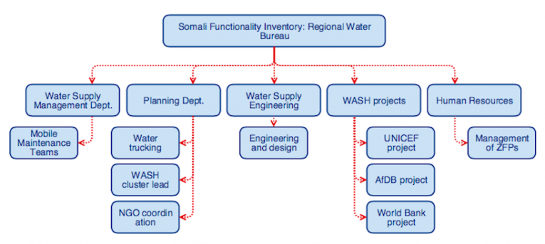
The emergency response included mobilising Mobile Maintenance Teams (MMTs) to undertake borehole rehabilitation and preventative maintenance. However, planning of a timely emergency response was hampered by gaps in access to detailed asset inventories and limited up-to-date information on the functionality of boreholes. To help address this, UNICEF asked IRC and Akvo to work closely with Somali Regional Water Bureau (RWB) to improve the current information about boreholes, establishing a continuous and reliable flow of data, and ensuring the information was available to those responsible for coordinating MMTs.
Somali Functionality Inventory
In February 2017, the indicators were developed, peer-reviewed and approved by the RWB. These took account of the GTP2, National WASH Coordination Office (NWCO) and SDG6 indicator sets, in addition to indicators specific to the Somali Region and the needs of emergency response for water supply. Survey Forms linked to the indicators were developed and Zonal Data Collectors were trained in the use of AkvoFLOW.
Over three weeks a full inventory of boreholes for water supply was established. Data from a total of 341 boreholes was collected by government-led teams from all zones in the region. Data was cleaned and validated in partnership with regional and zonal data collectors and supervisors.
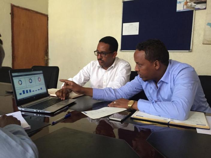
Systems for analysing and presenting the data were developed and customised. The dashboard automatically analyses and displays key indicator results and includes summary information, tabulated data, graphical and spatial analysis showing the functionality, accessibility, and repair and maintenance deta

Somali Functionality Inventory (SFI) data is serving its intended purpose to help facilitate a coordinated drought response including selecting water provision sites in response to AWD, selecting integrated service centres, selecting Internal Displaced People sites, and planning for the rehabilitation and maintenance works. However, we believe there remain further use cases to explore.

Regional government capacity to continue managing the programme has been established and roles and responsibilities for ongoing management of the system are clear and agreed. Full guidance documentation has been authored for each process and activity related to the continued management and use.
Priorities
Despite numerous achievements there remains several weaknesses and a need for continued financing and ongoing technical support to ensure the system and processes continue to function. The continued success depends on several factors, most critical are:
The more the data is shared and understood, the more value and impact SFI will have. There is also an opportunity to further discuss and champion SFI at the national level. What has been achieved during a time of drought is remarkable and holds development potential for scaling in other regions.
At IRC we have strong opinions and we value honest and frank discussion, so you won't be surprised to hear that not all the opinions on this site represent our official policy.